Fieldwork
Remote Sensing
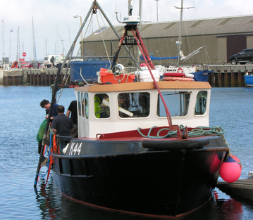
Remote sensing is one of the most cost effective methods of identifying sites and collecting subsea data. These include sidescan sonar, magnetometry, sub bottom profiling and
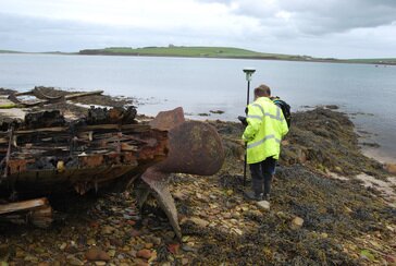
multi- beam echo sounding techniques. The ORCA team pride themselves on the links they have forged with local partners and together we provide the capability and experience to manage and interpret the data collected from targeted investigations. Coastal and Intertidal Survey
The ORCA team provide a seamless service to advise you on all aspects of the latest GIS based survey techniques. This information and advice helps you to make the correct decision on landfall or site onshore installations.
Underwater Investigations
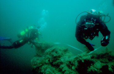
One of the most important aspects of conducting diving investigations is to possess a network of local operators who are experienced in archaeological techniques. ORCA has developed strong connections to the local sub-aqua community in the Highlands and Islands of Scotland which enables our team to complete targeted investigations by both ROV and diving.
|
Giving the past a presence now and for the future
Orkney Research Centre for Archaeology, University of the Highlands and Islands Archaeology Institute,
Orkney College UHI, Kirkwall KW15 1LX.
T: E:
Orkney College UHI, Kirkwall KW15 1LX.
T: E:
Copyright © 2018


